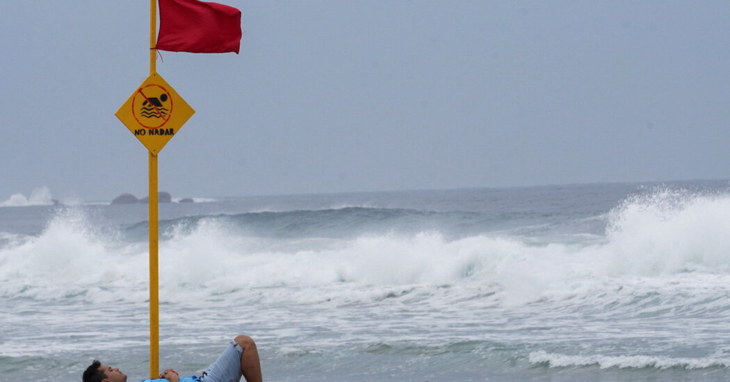
Hurricane Agatha, the first named storm this year in the eastern Pacific, is hurtling toward the southwestern Mexican coast, which it threatens to lash with storm surges and potentially fatal floods and mudslides, the National Hurricane Center said on Sunday.
Agatha could make landfall on Monday as a Category 2 hurricane with maximum sustained winds of 100 miles per hour, Dennis Feltgen, a meteorologist and spokesman for the Hurricane Center, said on Saturday.
The center upgraded Agatha’s classification from a tropical storm to a hurricane on Sunday morning, after its wind speeds increased to 75 m.p.h.
As of Sunday morning, Agatha remained off Mexico’s coast, but it was on track to bring heavy rains to portions of southern Mexico by Sunday night, the center said.
The worst downpours, with the potential to bring 20 inches of rain, were expected to hit the largely rural Mexican state of Oaxaca. The center issued a hurricane warning — meaning that life and property should be rapidly protected — for roughly 160 miles of the Oaxacan coast, from the city of Santa Cruz to Lagunas de Chacahua.
Hurricane conditions, including flash floods and mudslides, also threatened areas to the west, as far as the state of Guerrero, and to the east, in the state of Chiapas. Heavy rains are projected to continue through Tuesday, the center said.
Storms originating in the eastern Pacific generally do not reach the United States as hurricanes, Mr. Feltgen said. The same applies to Agatha, he said, though he added that if the storm “survives its trek across Mexico, then its remnants could emerge into the Gulf of Mexico.”
Agatha formed off the Mexican coast and was named on Saturday, not long after the official start of the eastern Pacific hurricane season, which runs from May 15 to Nov. 30.
The Atlantic hurricane season — the term used for storms that form in the Gulf of Mexico, the Caribbean Sea and the Atlantic Ocean — runs from June 1 to Nov. 30. Those regions account for the severest hurricanes that have struck the United States, Mr. Feltgen said.
This year is on track to be the first time since 2014 that a hurricane has not formed in the Atlantic before the official start of the season. However, the season generally does not peak until mid-August to late October, and forecasters predict above average Atlantic activity this year, with six to 10 hurricanes and three to six major hurricanes, the National Oceanic and Atmospheric Administration said this week.
If the prediction comes true, this year will be the seventh consecutive above average hurricane season.
The causes for the predicted intensity of hurricanes cited by NOAA include the climate pattern known as La Niña, which affects the speed and direction of wind, and a particularly intense West African monsoon season, which produces waves that can lead to powerful and long-lasting hurricanes.


