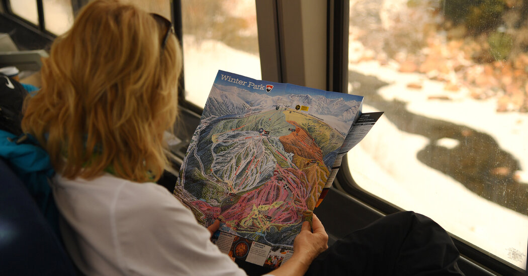
Even at tradition-bound Mad River Glen in Vermont (where the original single chair was replaced by yet another single when an upgrade was needed), a QR code on signs around the mountain leads skiers to a map on the website to cut down on paper waste, said the spokesman Ry Young. The resort still offers paper maps; a recent revision, in fact, was Mr. Niehues’ last big project.
Mr. Niehues, who retired last year, said that his maps aren’t just about “guiding you down the mountain but showing you its potential and what it offers.” To convey that, he created three-dimensional scenes with meticulously rendered details. “I really kept the skiers in mind and tried to make it as realistic as I could,” he added. “I always felt that it was important to show the terrain, the surroundings, the trees.”
These works of art, whether by Mr. Niehues or others, often outlast a ski vacation, morphing into a souvenir that lets you further study the mountain on days you wish you were still there or even compare changes over the years at a favorite resort. That’s why an avid skier like Stuart Winchester has a drawer full of hundreds of maps — he’s even decorated his Brooklyn laundry room with a couple of dozen of them.
“I like the physical trail map as a token of your ski day,” said Mr. Winchester, an internal communications director at ViacomCBS who also runs the Storm Skiing newsletter and podcast about resort trends and how they affect skiers.
But, as apps offer an increasingly sophisticated level of functionality, their value for tech-savvy skiers is undeniable. For instance, Powdr launched a feature last winter at Vermont’s Killington and at Snowbird that shows skiers where they and their friends are on the mountain in real time; Mt. Bachelor added the feature for this season. Vail’s comprehensive EpicMix app now includes a daily forecast of lift line wait times at 12 of the company’s resorts for better planning from the start.
A particularly intriguing amenity comes from Lumiplan, a French company that makes signs and apps for ski areas; it’s developing an interactive daily itinerary option that the company’s executive vice president, Julien Chassagne, called “the future of the trail map.” Say that you want to spend a day skiing as many intermediate mogul runs as you can, eat lunch at a certain restaurant and then end up at a particular base area location — enter those preferences into the app and it will provide you with a game plan. The feature is currently being tested out at Serre Chevalier, a ski area in the French Alps.
But it’s likely too soon to call the actual death of the traditional pocket-size map, said Garry Milliken, a graphic designer who creates maps that can be printed or reproduced digitally through his New York-based company, VistaMap. “The good, old-fashioned trail map is still a primary source of information,” he said. He has seen technological approaches come and go during his 30 years in the business and emphasizes the usability of “being able to read and hold something in your hand, regardless of the temperature or the weather.”


